
One of my favourite methods of relaxing my brain when it’s overheating from too much writing is to pull up Google Maps and go hunting for islands I never knew existed.
This isn’t hard, here in the UK (and particularly not so up here in Scotland). Quoting Steve Yeates of the Ordnance Survey National Mapping Agency in Southampton (England):
“Our 1:625,000 scale database shows Great Britain (England, Scotland and Wales) has a total of 6,289 islands, mostly in Scotland. Of these, 803 are large enough to have been ‘digitised’ with a coastline by our map-makers. The rest are recorded as point features.”
Of course, that’s nothing. Geographically speaking, the UK is a miniscule backwater scrap of almost-nothing. The British Isles is vanishingly small, on the global face of things.
But do you know what’s actually big?
Our “Earth” is really an ocean world: 71% of it is waterbound. And in that vast expanse of surface area, our attention is naturally drawn towards the land, the 29% we can live upon, and everything around its edges. How many islands are too small to be seen in the everyday images of the world we’re accustomed to seeing – or the in-flight maps in front of us, when we’re moving between countries and continents?
You can broadly extrapolate this from looking at some of the world’s most islanded nations. Take Sweden, which has 267,570 islands, almost all of them with a population of zero – making Sweden 99.6% uninhabited.
That’s just one corner of Europe. Worldwide, there may be as many as one or two million islands that have a permanent population of zero, unless you’re counting its non-human inhabitants – making them easy to overlook.
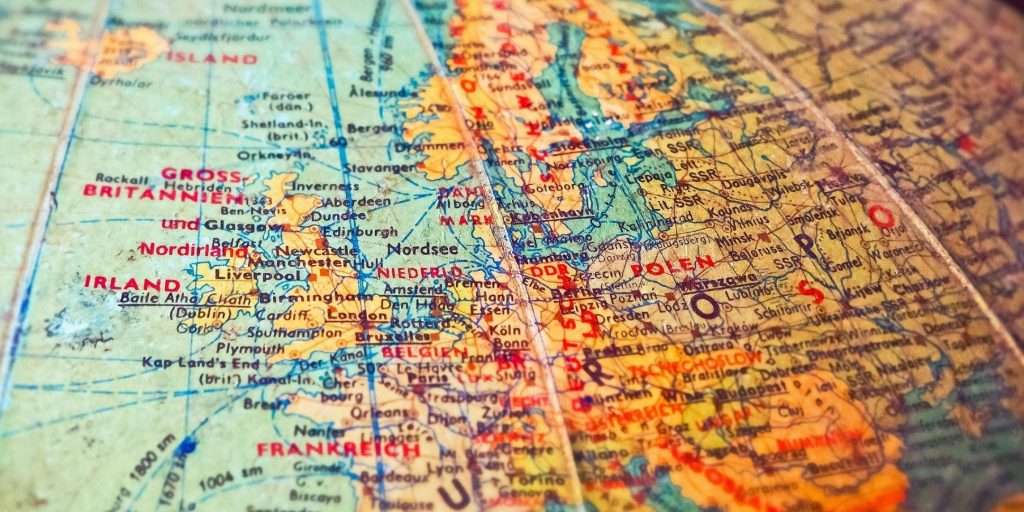
As for the biggest and most populated islands – well, we have a special word for them, and that word is ‘continent’.
Except that’s wrong. Of course continents aren’t just islands – how would that explain Europe? (Although…where does Europe actually begin and end, by the way?)
A common defence of the naming of Europe as a continent separate from everything else on the Eurasian landmass is that it’s historical convention. Back when Europe was newly invented, the rest of the world hadn’t been mapped properly by Europeans – and now the world’s stuck with it, because tradition should always be respected, and so on, ad nauseam.
Okay! I’m totally fine with this argument if it means we can have the planet Pluto back! But in practice,the naming of our seven recognised continents is all so woefully inconsistent. Can it be called a hard definition or law when at least one-seventh of the entire data-set contradicts it?
The same applies geologically. Perhaps natural mountain barriers are more your thing, like the watershed divide along the Caucasus Mountains that’s often called the easternmost edge of Europe. In which case, once again: what about India? Mayhaps you’ve heard of the range of peaks known as Himalaya, whence resides the world’s tallest mountain? Would that qualify?
(And on that note: the reason the Himalayas exist is because the Indian Plate, formerly an island, is colliding with the Eurasian Plate and buckling that stretch of crust it’s piling into. Isn’t that even more of a case for treating it as a separate landmass?)
Or we could go with raw population numbers. Surely Europe’s 740-ish million people make it worthy of inclusion? Assuredly! But what about India’s 1.4 billion people – roughly the same population as China?
It’s all a messy tangle of half-definitions.As Wikipedia accurately notes, “continents are generally identified by convention rather than any strict criteria.” And the question becomes: whose convention?
In short: how very, very unscientific and how immensely human this whole issue has become.
But probably the most consistent description – or at least even-handedly unfair to everyone – comes from geology, commonly based on four criteria:
- high elevation relative to regions floored by oceanic crust
- a broad range of siliceous igneous, metamorphic, and sedimentary rocks
- thicker crust and lower seismic velocity structure than oceanic crustal regions
- well-defined limits around a large enough area to be considered a continent rather than a microcontinent or continental fragment.
That would give us six continents: Africa, Antarctica, Australia, Eurasia, North America and South America.
But that would also mean our world now has a new continent – and the reason it’s not a household name is probably all that water currently laying on top of it.
Around 650 million years ago, at a time of enormous cooling and widespread glaciation, most of the land on our planet was smooshed together into an ever-shifting series of supercontinents. For a time, the biggest of these – covering a full one-fifth of the Earth’s surface – was called Gondwana, often called Gondwanaland to avoid confusing it with the region of the same name in India. You can see Gondwana(land) here in its later form, after it had slammed into the ancient Eurasian plate (Laurasia) to form the pole-to-pole landmass we now call Pangea (or Pangaea), which you’ve might already heard of.
Around eighty million years ago, Gondwana was breaking up to become the world we know today – and a huge piece of breakaway land off what is now Australia started to deform. It stretched, thinning this continental crust and allowing the sea to push inwards – and over millions of years, sinking it under the waves.
This almost entirely lost continent has been dubbed Zealandia – and it’s currently inhabited! Around 5.4 million people live there, on what we now call New Zealand, New Caledonia, Norfolk Island and Lord Howe Island. These are more or less the only parts of Zealandia remaining above sea level – just 5% of the original 4.9 million square kilometres (making it around 64% the size of Australia).
If you haven’t heard of Zealandia, that’s understandable! It was only proposed in 1995, and it’s been a source of amiable dispute ever since: can it be considered a continent if it’s underwater, or should it be called a microcontinent fragment, or something else entirely? Even the name isn’t yet set in stone: Māori speakers would prefer it to be called Te Riu-a-Māui, meaning “the hills, valleys, and plains of Māui”…
But it has just been entirely mapped for the first time (hat-tip to Canadian writer Jodi Ettenberg’s newsletter Curious About Everything). More formally: “This work completes offshore reconnaissance geological mapping of the entire Zealandia continent.” Welcome to the family, Zealandia.
So here’s my challenge to you today. Please continue to travel as you already love doing, because there is so much out there that hardly any of us know about, simply because so few of us live there – but also, open up an online map, centre it on your home, and go searching for the nearest stretch of coastline, and see what islands will pop up when you zoom in. The world is full of mysteries, and some of them are almost on your doorstep.